
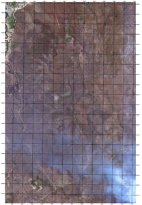
Satellite Imagery with Grid Overlay
A common request we get it to reference current satellite imagery to a Grid Reference system (UTM, AGD66, GDA94, WGS84 and many more).
This is a simple demonstration of that with satellite imagery overlaid by a 1km x 1km grid system, which matches the grid on Topographic Maps - making cross referencing simple.
